Christmas is Coming Early for RocFall2 and RocFall3 users
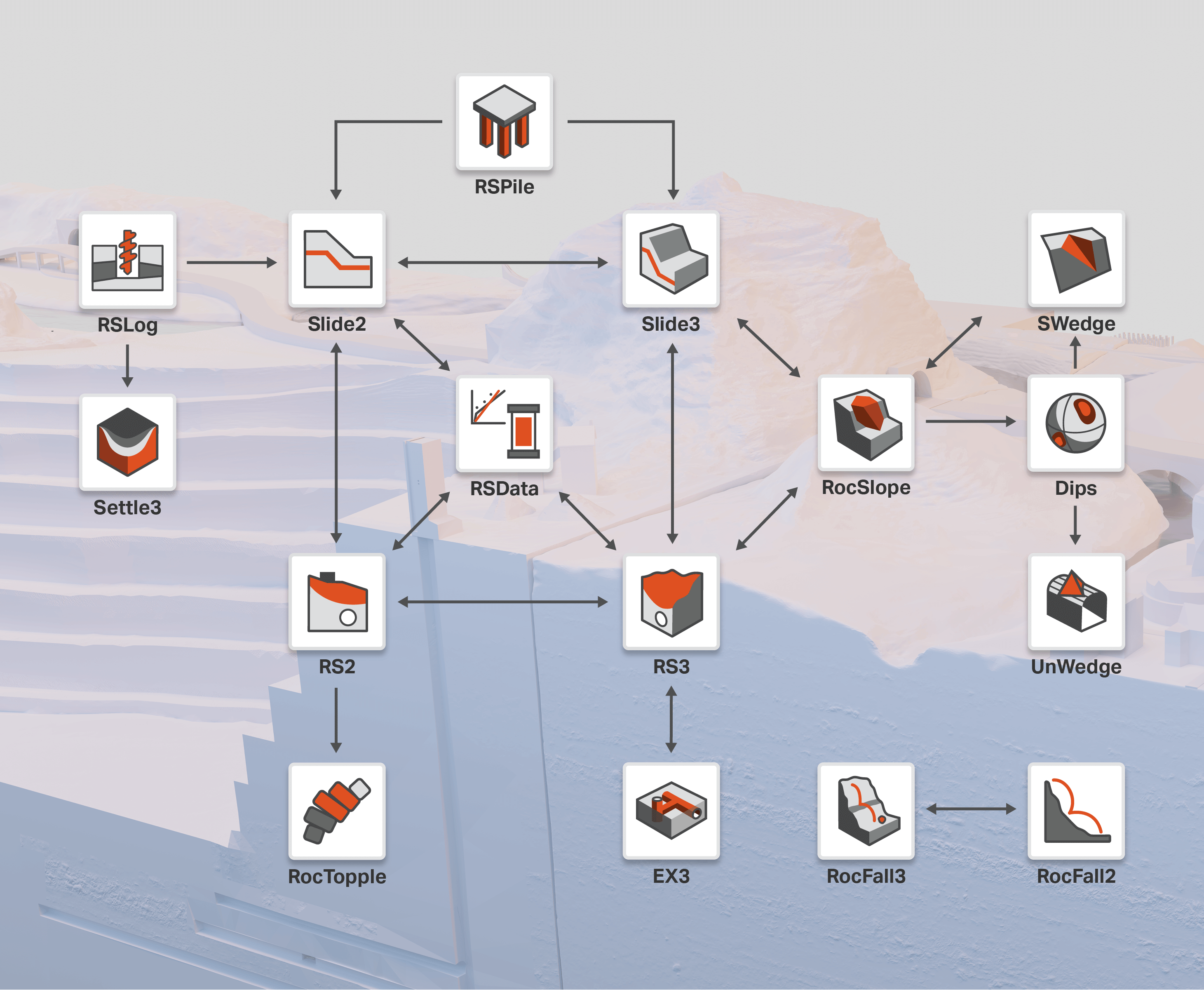
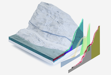
In April 2022, RocFall3 was introduced to the software suite adding more capabilities to your rockfall analysis with 3D simulation. As a year-end gift, RocFall2 and RocFall3 are set to release a number of features. Along with adding more functionality to your favorite rockfall analysis programs, we aim to provide you with tools that help you get the most out of your model construction.
Brand-new features to level up your rockfall analysis
Whether it’s saving time batch-extracting multiple cross-sections from a large model or better preparing mitigation measures against rockfall hazards, get ready to achieve all your rockfall analysis goals.
Here are the new features that will be available in RocFall2 and RocFall3 at a glance.
Expanded rock shape library for rigid body analysis
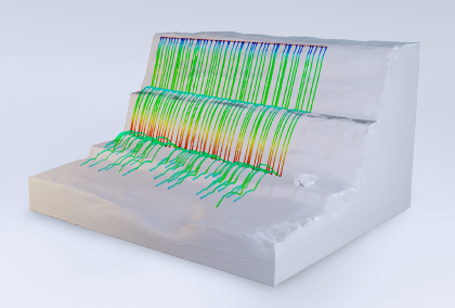
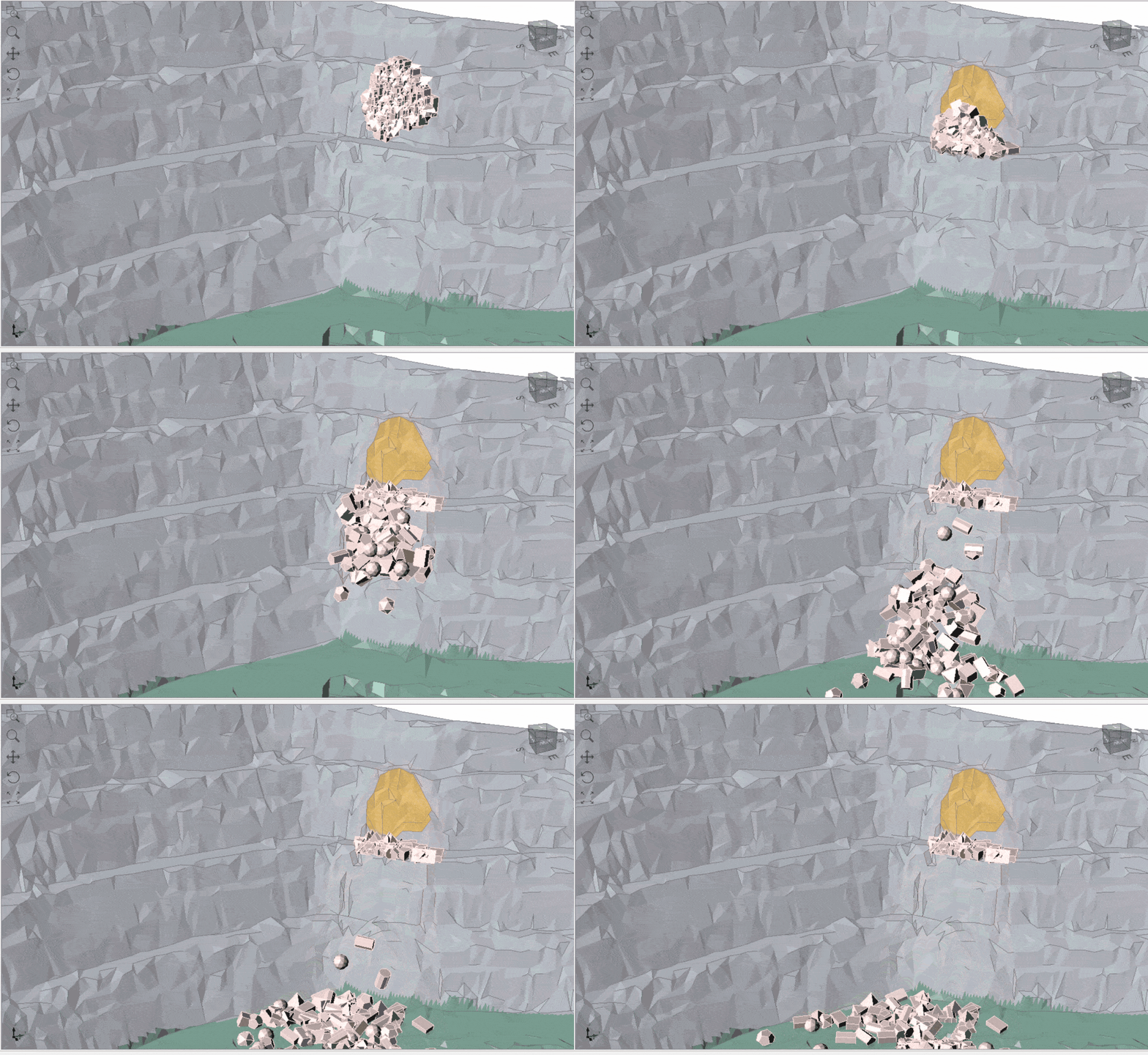
The rigid body analysis in RocFall3 now supports the use of regular polyhedrons and extruded polygons for an enhanced statistical simulation of rockfalls in 3D. Model falling bodies using a variety of shapes and view their trajectories and motions through 3D animation. The 3D rigid body simulation in RocFall3 is compatible with the 2D rigid body simulation in RocFall2.
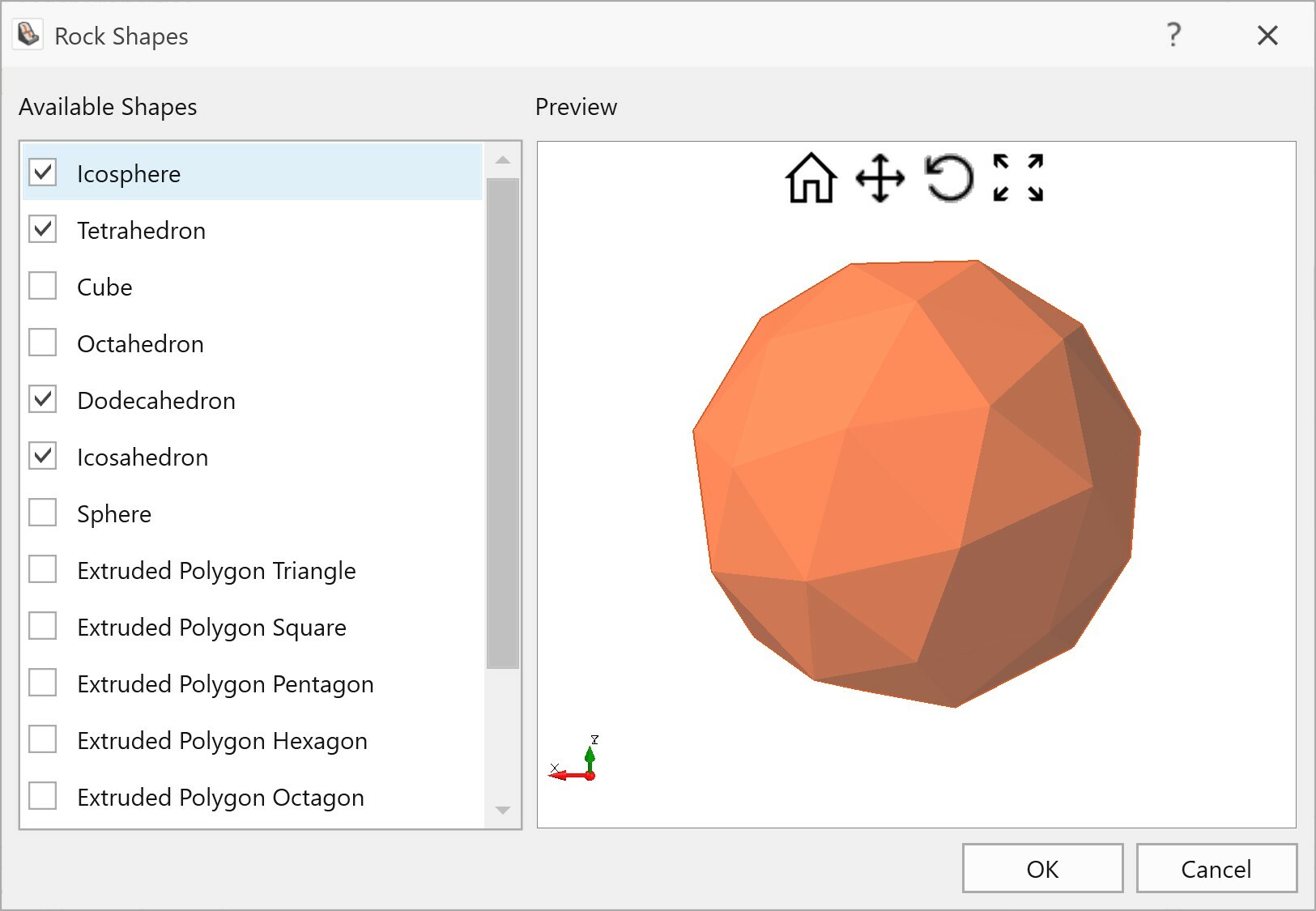
Image segmentation
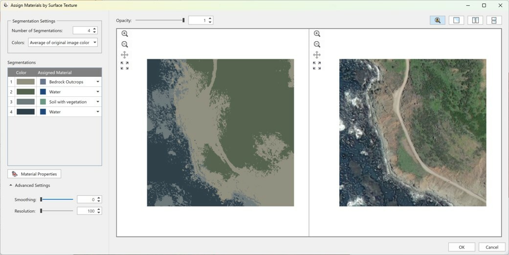
The new image segmentation tool in RocFall3 is designed to automatically suggest a slope surface material assignment based on a surface texture. This will help save model construction time, especially for large models with complex geology. Slope textures can be imported as common image files or by using the in-program terrain generator option.
Multi-section export
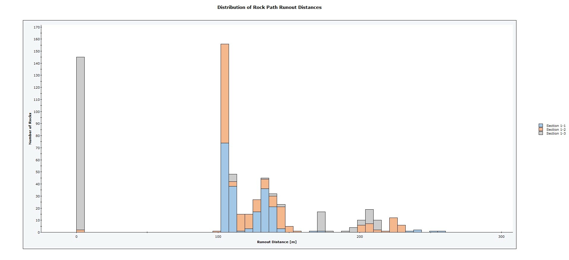
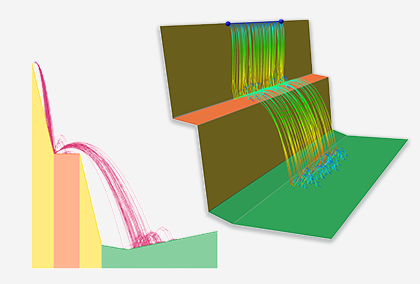
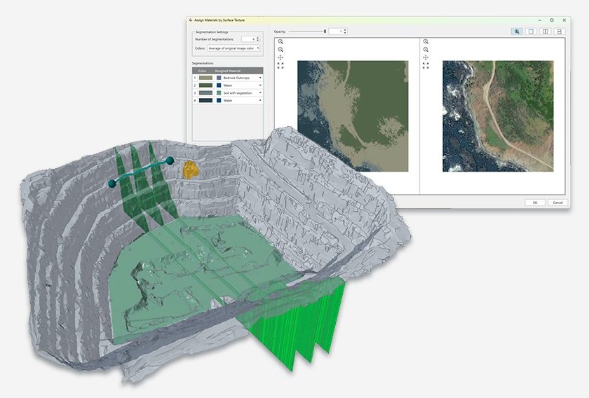
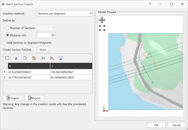
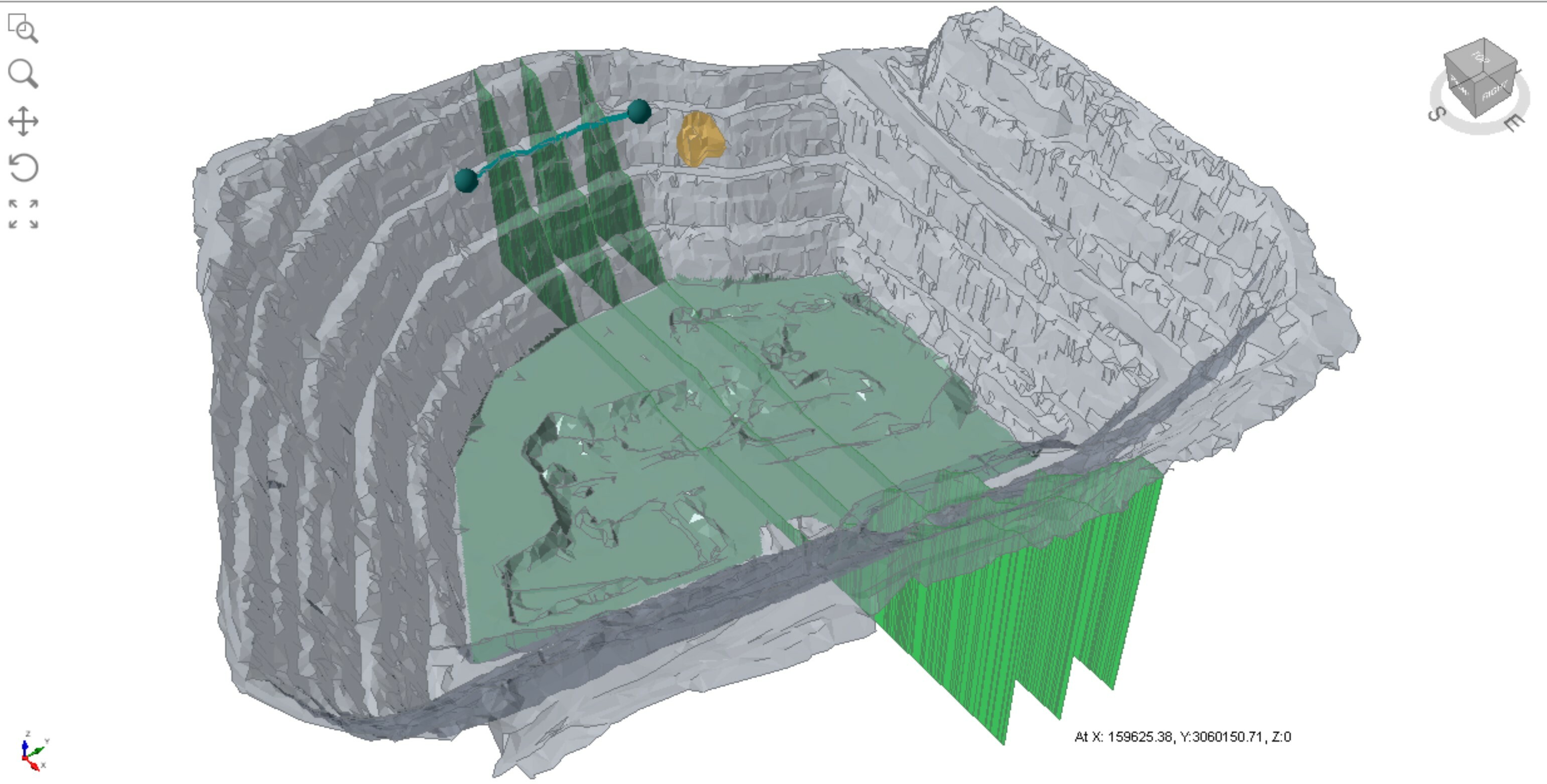
Create and export multiple slope sections from RocFall3 for group analysis in RocFall2. Group plots in RocFall2 are useful for comparing the relative hazard of rockfalls among multiple slope sections. Improve integration between 2D and 3D analyses.
Area seeders
Falling body origins in RocFall3 can now be defined with point seeders, line seeders, plane seeders, and area seeders. Area seeders are the most suitable option for modelling geologic origins of falling bodies that span irregular areas.
Reference line for runout distance analysis
Rock runout distances calculated from a reference polyline can be meaningful to the analysis and design of mitigation measures. This reference line can be a user-drawn polyline or a modelled rockfall barrier. Reference lines are created in RocFall3 but can also be exported to RocFall2 for group analysis of runout distances among multiple slope sections.
