Create Settle3 Models More Quickly With the Highly Anticipated Point Cloud Data Import Feature
- Steve Chai, Geotechnical AI Manager at Rocscience
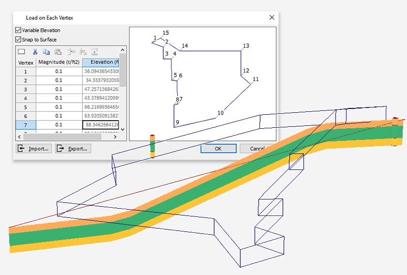
You asked, we listened; experience the new way of importing any surface points with our highly anticipated surface point cloud import feature. You can now import any surface-point-cloud directly to Settle3 with a CSV or Excel file, using any surface terrain, without relying solely on borehole data.
Consider the terrain below, taken from a golf field in Toronto. It shows a real image of the region using the surface terrain generator in Slide3.
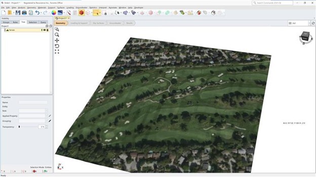
We can then simply import the full surface point cloud directly to Settle3 and apply loads to analyze settlement as shown below.
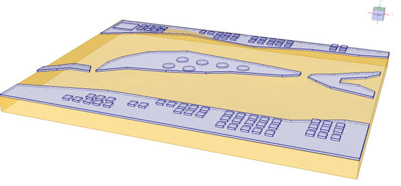
The model above shows the full non-horizontal surface with approximately 20,000 surface points, with each surface points interpolated between other points.
This new feature can model soil geometries that include more complex and realistic surface points directly in Settle3. For example, you can analyze settlement for loads with accurate ground surface conditions by importing the surface points from the projects with geographical data, such as LiDAR data with point cloud surface points. Simply import the surface points, and define the boreholes with soil layers, and you have a full non-horizontal soil model ready for analysis.
You can also seamlessly import surface point cloud data to projects with existing boreholes. This adds more flexibility to your existing soil models when borehole information is available. Both the borehole and point cloud data are added to the ground surface.
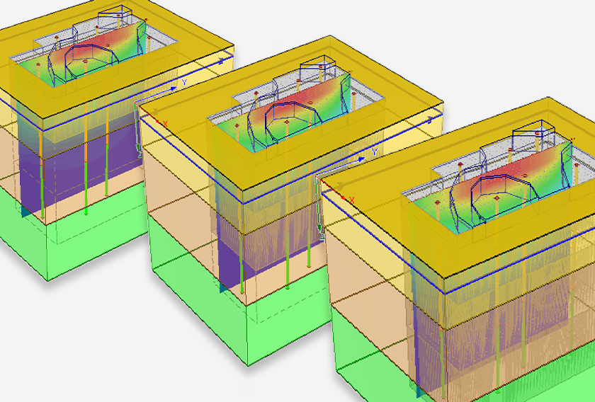
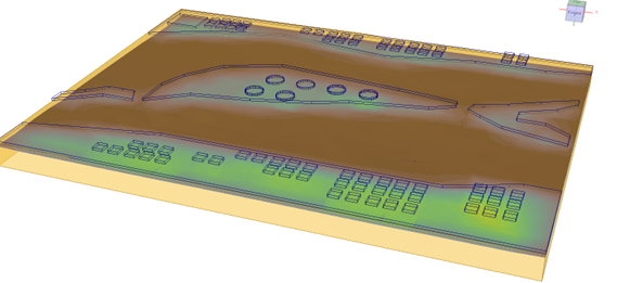
Below are the results for the field grid points with surface point cloud data, which shows how you can use actual geological locations with surface point data and get realistic settlement results. It's applicable to any suburban areas with development projects for settlement analysis and various other applications.
The new surface point cloud data import feature for Settle3 will change how you work with soil modelling. With a single click, you can import surface-point-clouds and create complex, realistic terrain models with ease for more accurate analysis. Are there any other Settle3 features you would like to see added? Let us know!
Looking to create Settle3 models more quickly with the new Point Cloud Data Import feature?
Start your free trial today!
Free Trials