Reducing Rockfall Risks: How 3D Simulations Inform Safer Engineering Solutions
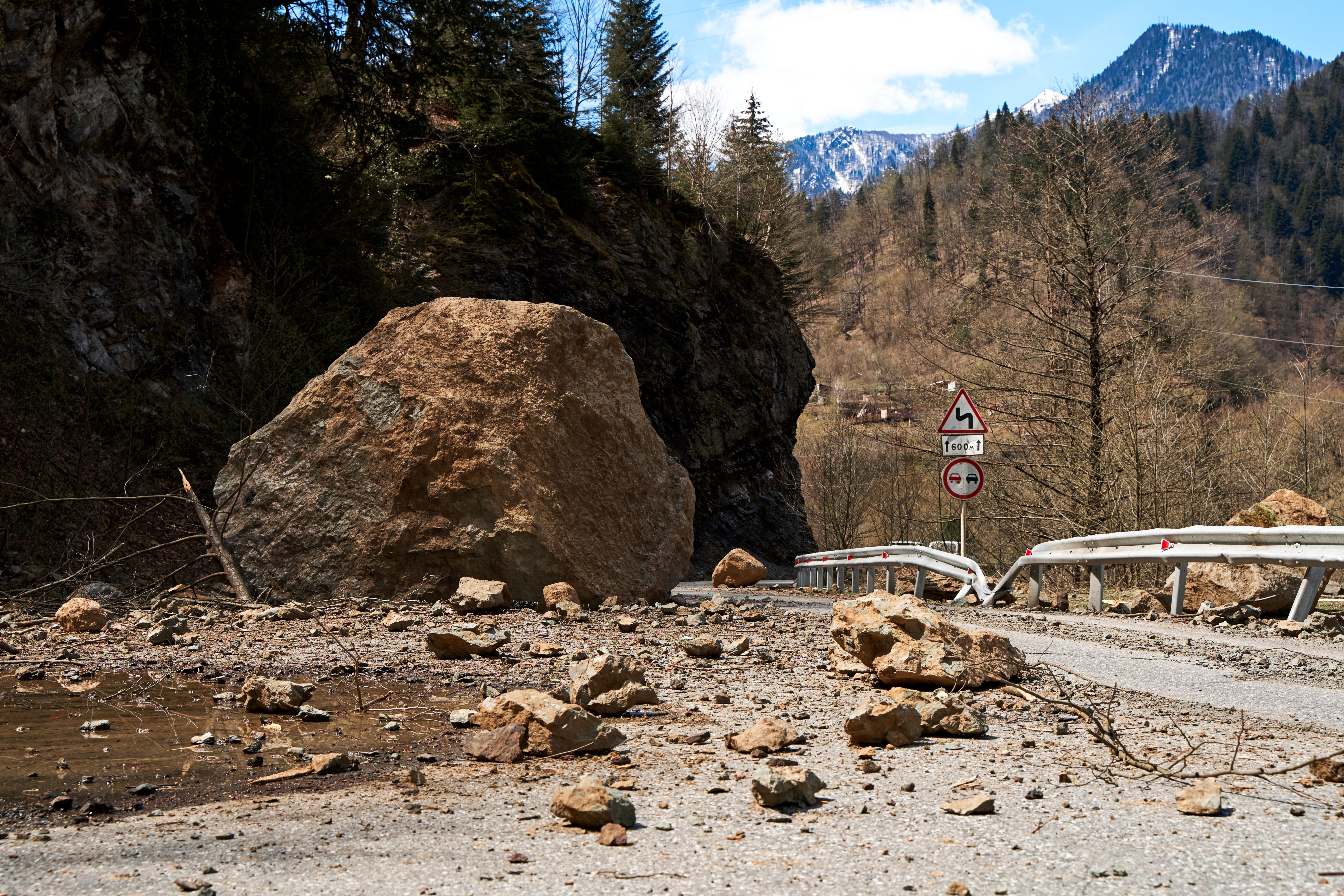
On July 25, 2021, a catastrophic rockfall event near Batseri Village in Kinnaur, Himachal Pradesh, India, resulted in nine fatalities and significant infrastructure damage. A comprehensive study published in Geotechnical and Geological Engineering examines this event. It combined field investigations, structural analysis using Dips, and advanced 3D stochastic simulations in RocFall3 to understand the rockfall dynamics and develop effective mitigation strategies.
Climate Change and Rockfall Triggers
Mountainous regions are particularly sensitive to climate change. Variations in precipitation intensity and duration directly affect a multitude of natural hazards in hilly areas. The study highlights that:
- The region experienced its second-highest annual recorded rainfall of 1178mm in 2021.
- Climate change has had a profound impact on precipitation patterns, with a notable increase in rainfall magnitude in the locale from 2010 to the present.
- The valley experiences frigid winters, with annual minimum temperatures ranging from -15°C to -32°C during December and January.
- Maximum temperatures vary between 17°C and 25°C.
Notably, July 19, 2021, recorded a single-day rainfall event of 40 mm, sufficient to trigger rockfalls/landslides under Himalayan conditions.
Kinematic and Structural Analysis
The researchers conducted a detailed kinematic analysis (as seen in Figure 9 on page 14) based on mapped joint sets to understand the structural controls on rockfall initiation. Key findings included:
- Identification of four major joint sets in the source area
- Potential for planar, wedge, and toppling failures from the analysis of joint set orientations using stereographic projections in Dips
- Three joint sets are prone to causing planar failure
- Almost 50% of intersecting discontinuities fall in the critical zone of wedge instability
- Flexural and direct toppling failure mechanisms are possible
This structural assessment provided crucial insights into the failure mechanisms that initiated the rockfall event, highlighting the importance of thorough geological mapping and kinematic analysis in rockfall hazard assessment.
3D Stochastic Assessment
Using RocFall3 software, the team performed a comprehensive 3D stochastic assessment to model the rockfall dynamics. This advanced simulation technique allowed for the following:
- Modeling of hundreds to thousands of potential rock blocks with varying geometries and sizes
- Analysis of runout distances, bounce heights, kinetic energies, and velocities of falling blocks
- Probabilistic distribution of rockfall danger in the affected area
The simulation results closely matched the observed rockfall behavior (shown in Figures 10, 11, 12, and 14 on pages 15, 16, and 18) and demonstrated the capability of RocFall3 to predict rockfall trajectories and impacts. The modeling indicated that:
- The runout paths spread over nearly 425 m along the Sangla-Chitkul road
- Maximum kinetic energy acquired by the boulders varies from 685 to 12,916 kJ, with a mean of 4282 kJ
- Total runout distance varied between 1024m and 1266m (1193 ± 69 m)
- The time taken by each boulder while traveling downwards varied between 23s to 50s, with an average duration of 36.4s
Barrier Mitigation Measures
Based on the simulation results, the study proposed the following barrier mitigation strategies:
- Optimal placement of rockfall barriers along the affected road
- Barriers with appropriately designed heights and energy absorption capacities
- Testing of various barrier configurations to maximize effectiveness and cost-efficiency
The research emphasizes that properly designed and placed barriers could have significantly reduced the damage caused by the Batseri rockfall (shown in Figure 18 on page 20). Additional significant findings include:
- More than 95% of boulders crossing the road had total kinetic energy less than 5000 kJ
- A barrier with a 5000-kJ capacity could be ideally installed just above the road
- More than 90% of boulders had a bounce height of less than 25m
- A set of three barriers (each 9m high) installed parallel to 2850m, 2875m, and 2900m elevations could protect against roughly 90% of deadly boulders
Bailey Bridge Damage Assessment
The simulation demonstrates that three boulders had a fair chance of striking the Bailey Bridge with total kinetic energies of 1433 kJ, 32890 kJ, and 3381 kJ, respectively (as seen in Figure 17 on page 19). These energies were all higher than the actual static bearing capacity of the approximately 130-foot double-double Bailey Bridge installed over the Baspa River. This fact explains the bridge's collapse during the incident.
Key Takeaways
This comprehensive study of the Batseri rockfall event demonstrates the critical importance of integrating field observations, structural analysis, and advanced computational modeling in understanding and mitigating rockfall hazards. As climate change continues to exacerbate the risk of such events, insights gained from research like this can give us a clearer understanding of how to improve upon our methods in future projects.